|
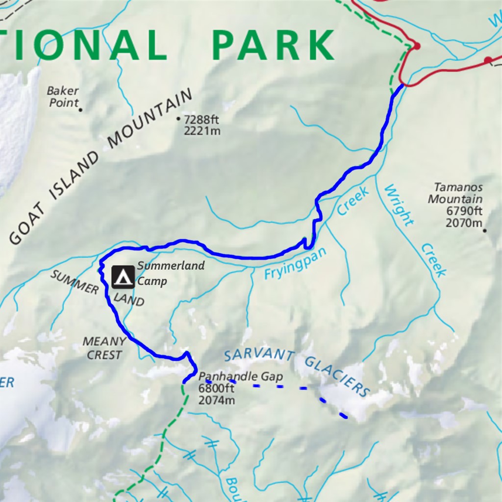
Banshee Peak Difficulty: strenuous and off-trail 13.9 miles Elevation gain: 4060' Max elevation: 7400' Camps: Summerland First hiked by me: 2023 |
This is an off-trail route. Only come here if your navigation is up to the task of finding your way where there are no trails to follow, and practice Leave No Trace to avoid damaging fragile terrain.
Much of the distance and elevation gain shown above comes from hiking the Wonderland Trail section to Summerland and Panhandle Gap. If you already happen to be at Panhandle Gap, adding in the off-trail route to Banshee Peak is 2.9 miles roundtrip with 1000' gain.
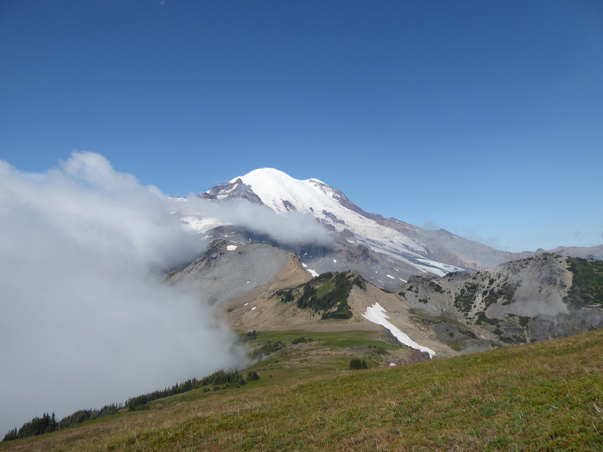
Banshee has got to be the best name ever given to a mountain. It makes me want to apply warpaint and crank the volume on Led Zeppelin's "Immigrant Song" (yes, I know I am mixing up my cultures here :-) It's a good place to come if you love Burroughs Mountain but wish there was more of it, remoter and with fewer others around.
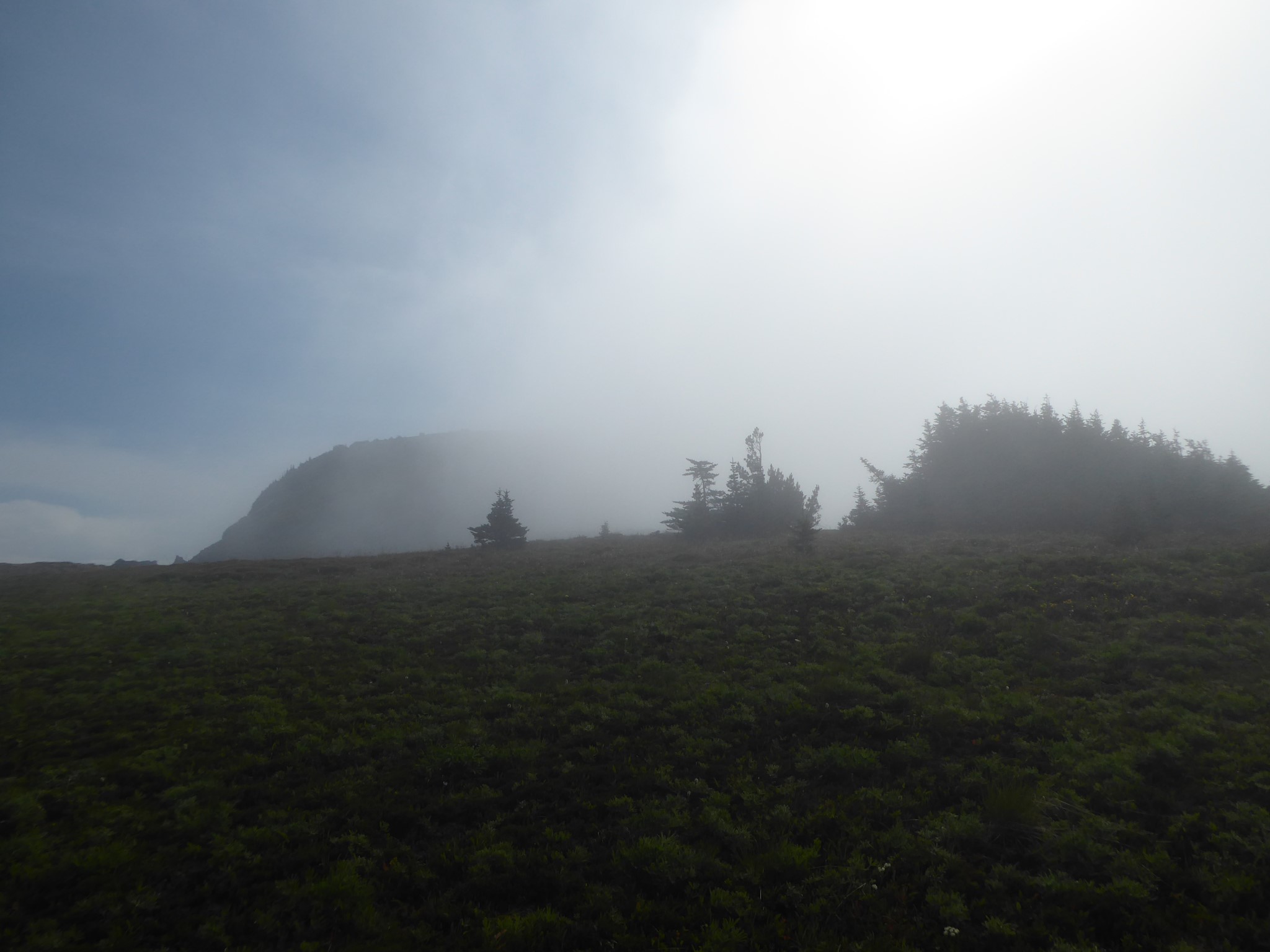
It's either a long and challenging day hike, or as in my case a detour from a backpacking trip. The weather was uncertain when I arrived at Panhandle Gap: clear to the north but dense clouds to the south. I was unsure whether I'd get to see anything, but decided to take the gamble and it paid off.
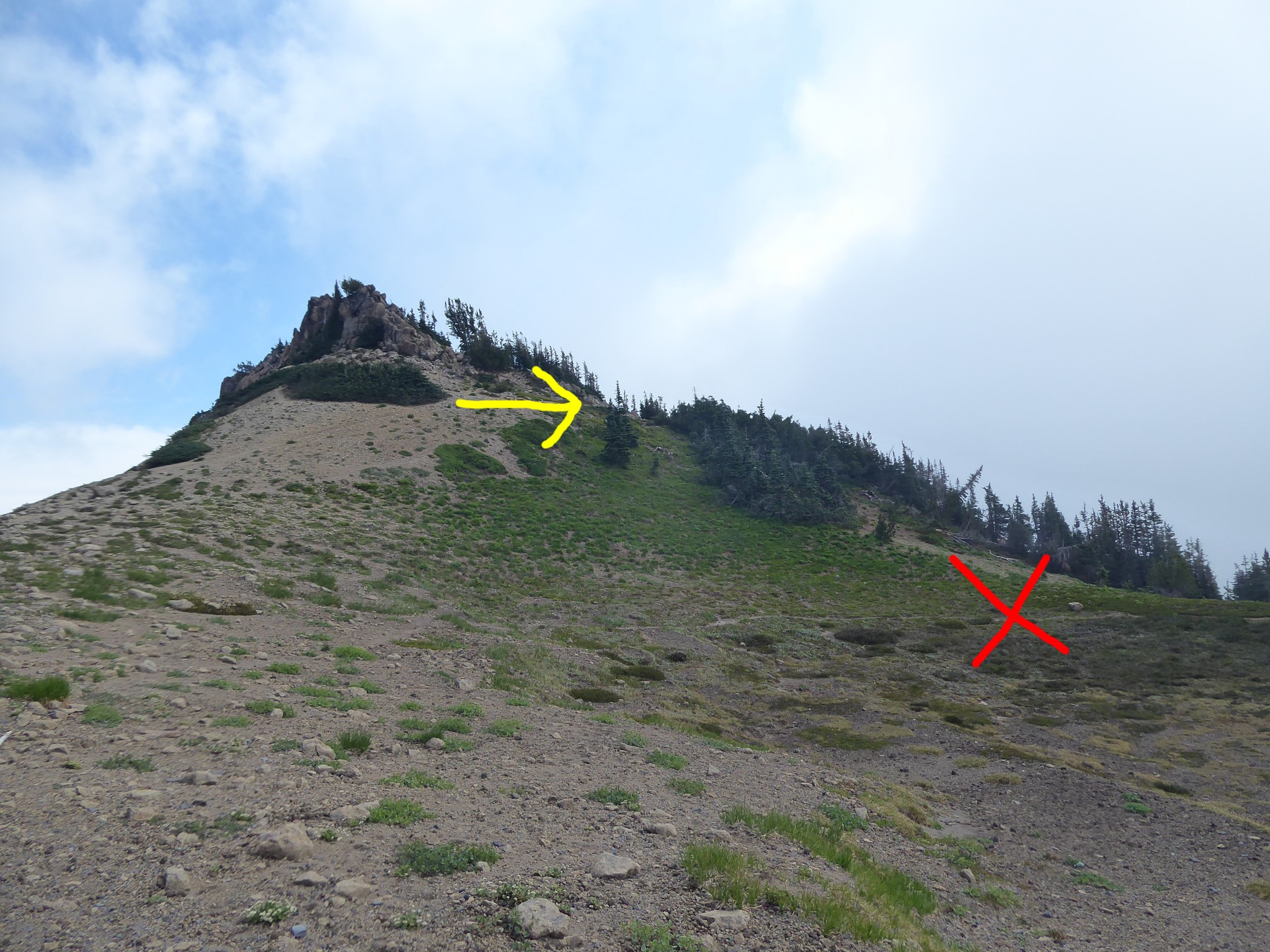
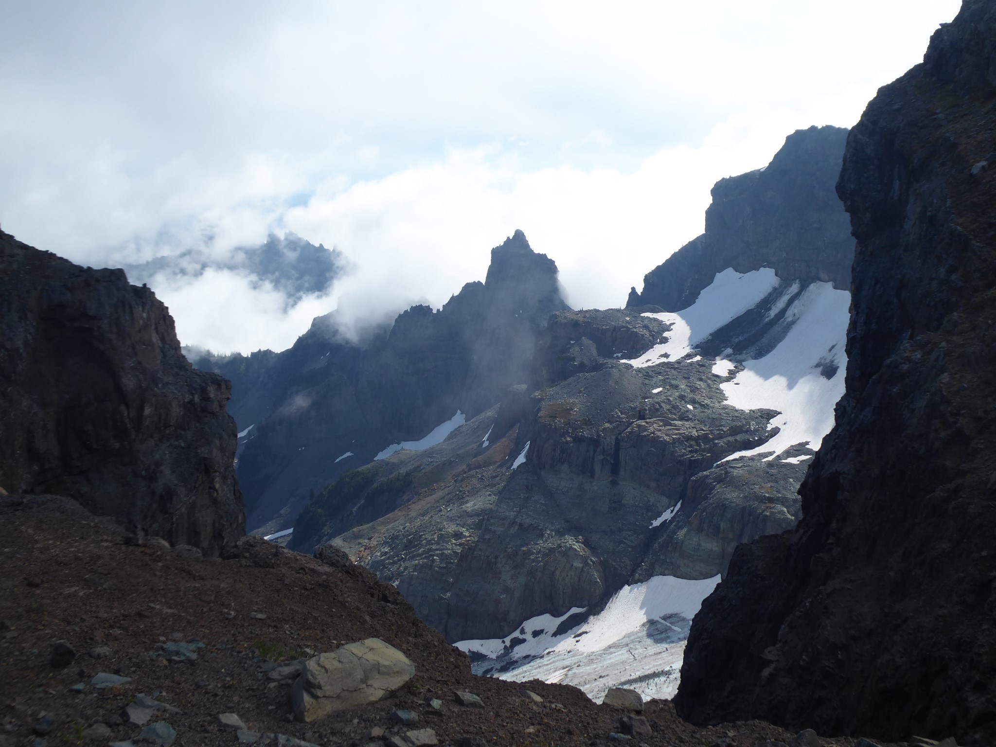
The first hurdle was how to begin. There are multiple boot paths heading east from Panhandle Gap. I took the lower one, thinking it best matched the topography I was expecting. Can confirm that it's possible to reach Banshee that way, but it's not the easiest, involving a scramble down a steep scree slope which loses and then has to regain more altitude than necessary. Don't do what I did: look at the photo below and go the easier way, which provides a clear (unofficial) path for the first portion of the hike.
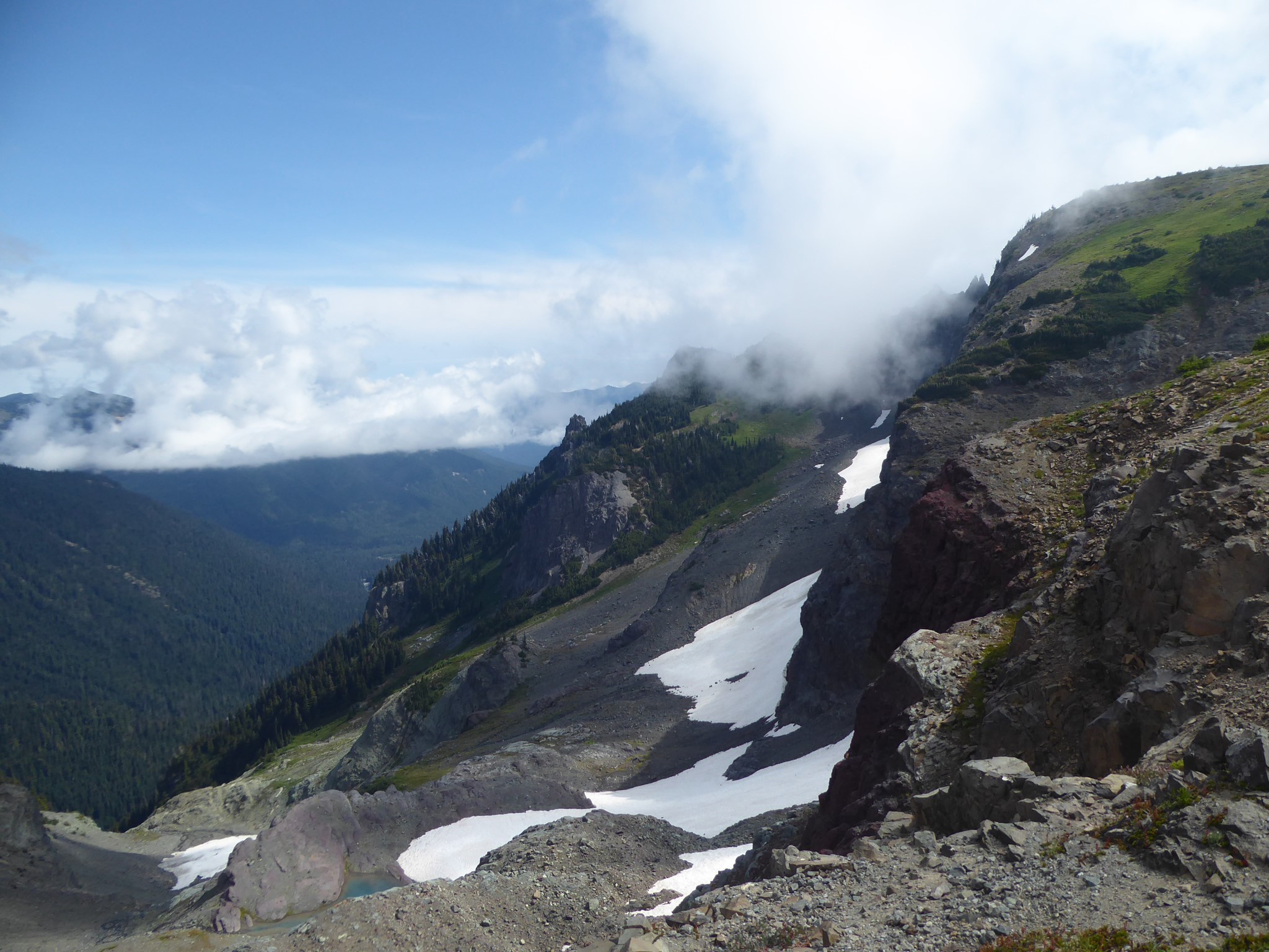
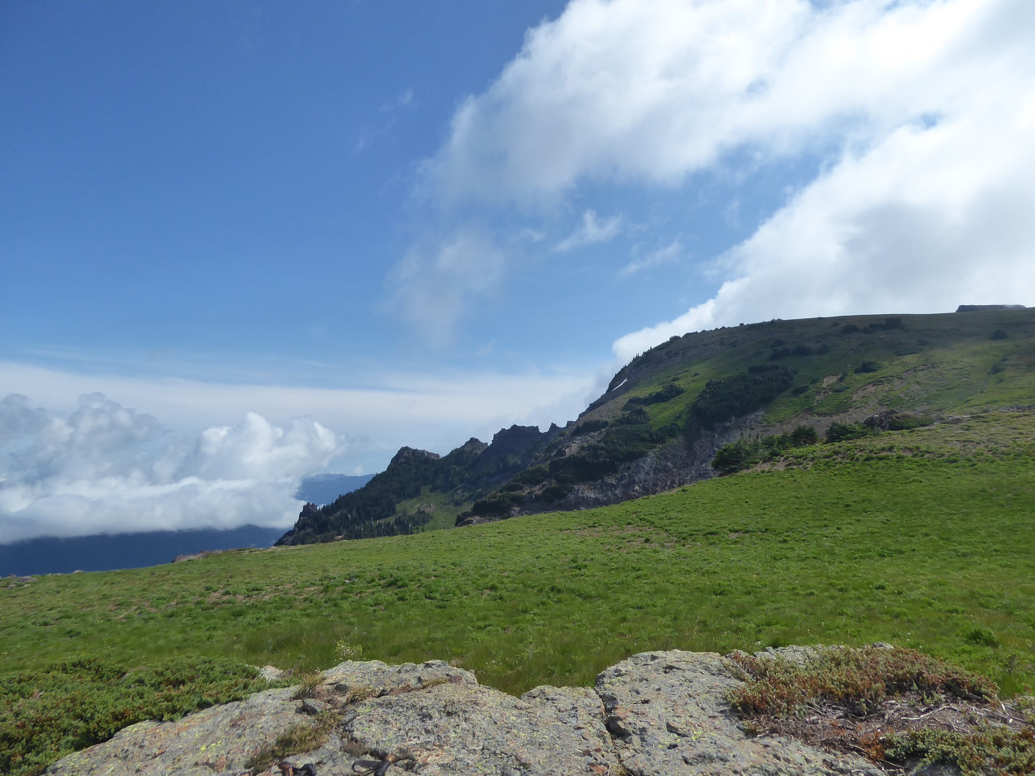
Most of the way up is a broad ridge-that's-almost-a-plateau, which changes from rich wildflower meadows to barren alpine tundra as you gain altitude. There are fragments of hiker paths in places, and trails made by the resident goats in others, but you'll likely be forging your own route much of the way. This high terrain is incredibly fragile, so do your best to minimize damage by stepping on durable surfaces such as rocks, dry watercourses, and the bare patches in between sparse alpine plants.